| Date | 26 March 2013 | ||
| Location | Fuerteventura | 28.715097°N, 13.892226°W | |
|
Information |
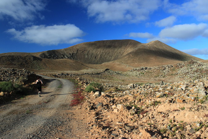
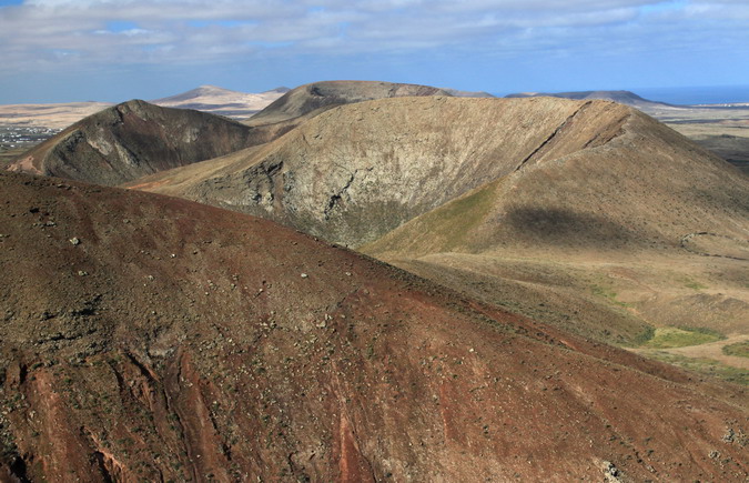
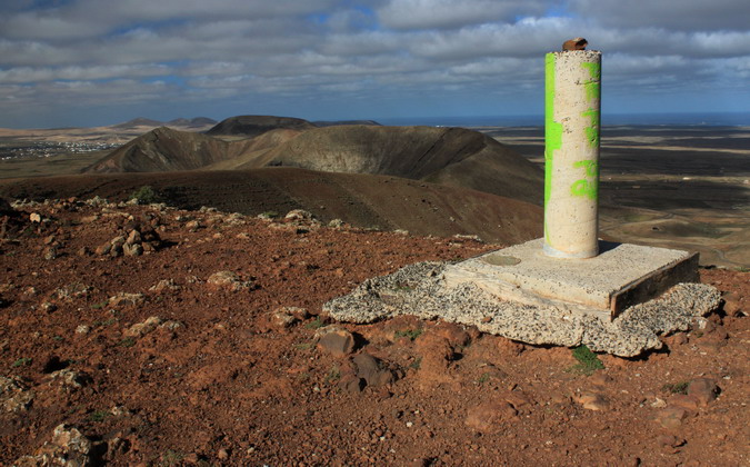
The Morros de Bayuyo are a group of hills in the malpaís (‘bad land’) to the south west of the town of Corralejo in the north of Fuerteventura. This chain of volcanoes, active some 135,000 years ago, was responsible for increasing the area of the north of the island and also for the creation of Isla de Lobos. The reddish hues in the landscape arise from the high iron content of the rock. At an elevation of 271m above sea level, the summit of Bayuyo, the tallest of the peaks in the group, affords fine views of the north of the island and also of neighbouring Lanzarote, which can be reached via a twenty-minute ferry crossing from Corralejo.
|
||
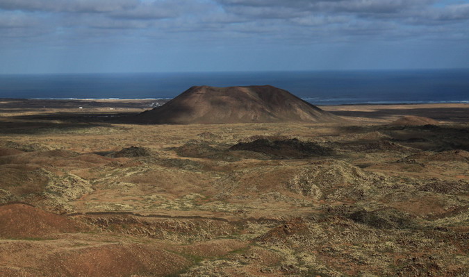


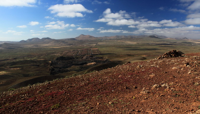

Slightly dryer than the Nantlle Ridge..with what looks like some interesting rock. Looks like you had an interesting time!
LikeLike
Yes, the change in both landscape and climate were not at all unwelcome 🙂
LikeLike
Deforested hills, not in Wales, look very different. Is it the light or the color of the sky or different soil composition?
LikeLike
I think it was both the light and the chemical composition, Lynn. Anyway, the change in scene and weather for a spell was very agreeable.
LikeLike
Pingback: Caldera Encantada, Fuerteventura | GeoTopoi
Pingback: Calderón Hondo, Fuerteventura | GeoTopoi
I’ve climbed this too but sadly the weather definitely wasn’t as agreeable, you could hardly see anything when we got to the top, that was in July 2011. I must admit though climbing down was a lot harder than navigating up it.
LikeLike
Thanks for stopping by Samantha!
LikeLike